
Edge AI for Earth’s wild places
Off-grid biodiversity monitoring needs the same things we’ve been engineering for years: solar power that survives winter, cameras that keep working with no signal for weeks, and a cloud pipeline that turns raw footage into a real-time picture of what’s happening on the ground. That’s a deployment we’re ready to build.
Why we’re paying attention to this space
In December 2024, Microsoft’s AI for Good Lab announced SPARROW — a solar-powered, edge-AI device that combines camera-trap imaging with bioacoustic recording, runs wildlife-detection models on-device, and relays results home over low-Earth-orbit satellite links. It has since processed over a billion images and recordings across 11 countries.
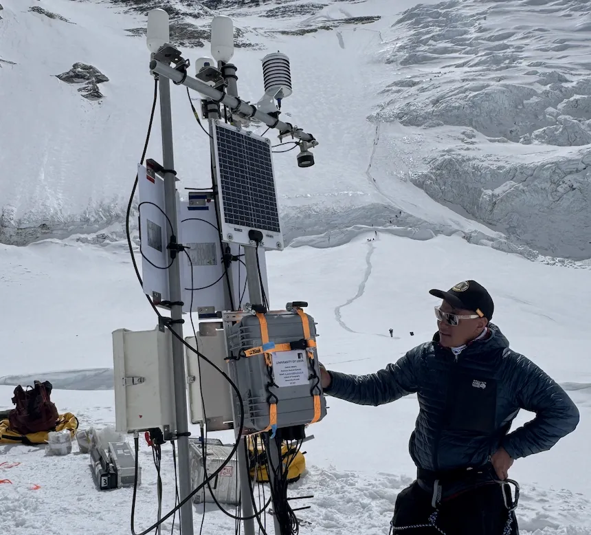
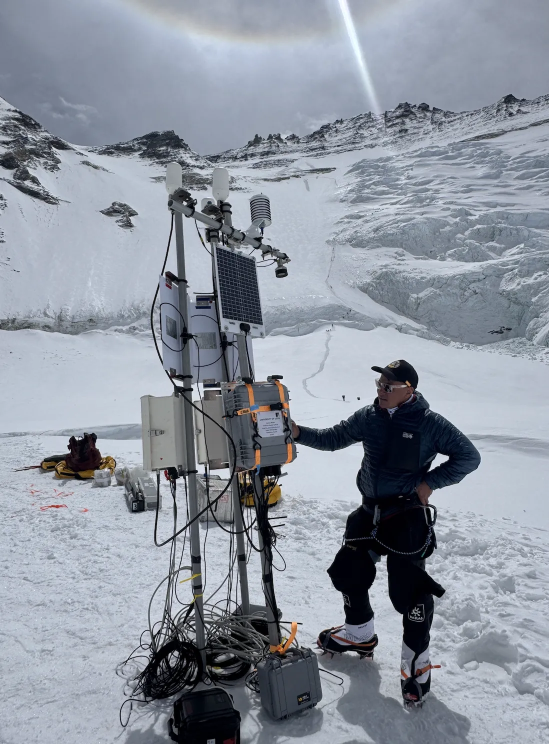
That architecture — solar autonomy, on-device inference, satellite backhaul, cloud dashboards — is the same stack we’ve already engineered and field-tested for live camera and weather-station networks across the Nepal Himalaya. We didn’t build SPARROW, but we’ve built the pieces it’s made of, in terrain that’s just as unforgiving.
Reference: Microsoft — “Announcing SPARROW”, Dec 2024
What we bring to a biodiversity deployment
Not a concept — capability we already operate, ready to be pointed at a new use case.
True off-grid power
Solar + battery systems already sized and proven for high-altitude, low-sun-hour winters — the hard constraint every remote monitoring project runs into first.
Rugged edge hardware
4K camera nodes with on-device motion intelligence, weatherproofed and rated for the −20°C, high-wind conditions of the Himalaya — the same physical resilience a camera-trap network needs.
Weather context, built in
Every camera node we deploy can pair with a weather station on the same link. Species activity read alongside temperature, wind and precipitation is a data layer most wildlife networks don’t have.
Cloud pipeline that already exists
Secure ingest, AI-driven alerts and a dashboard/API layer are live in production today — ready to be extended with species-classification models instead of security alerts.
4G, LTE and satellite uplink
We already design around thin or intermittent connectivity, choosing the right backhaul — cellular, LTE or satellite — per site instead of assuming one link works everywhere.
Boots on the ground in Nepal
Local field crews, logistics and site relationships across the Himalaya — the difference between a device shipped to a remote site and a network someone actually installs, maintains and repairs.
How we’d run a pilot
A biodiversity monitoring deployment is an extension of what we already do, not a new discipline. Working with a conservation partner, our approach would be:
- Site survey & power budget for the target habitat and season
- Deploy solar-powered camera and acoustic nodes rated for the local climate
- Integrate an on-device or cloud detection model for the species and behaviours you need to track
- Route data over the right uplink — cellular where available, satellite where it isn’t
- Surface results on a live dashboard, with alerts and exportable data for researchers
 Planet Tech Nepal Pvt. Ltd
Working on a biodiversity or conservation project?
If you need remote camera and sensor infrastructure that survives off-grid, high-altitude conditions, we’d like to talk.
© 2026 Planet Tech Nepal. All Rights Reserved | Terms of Use